Drag the day. Watch the shadow swing.
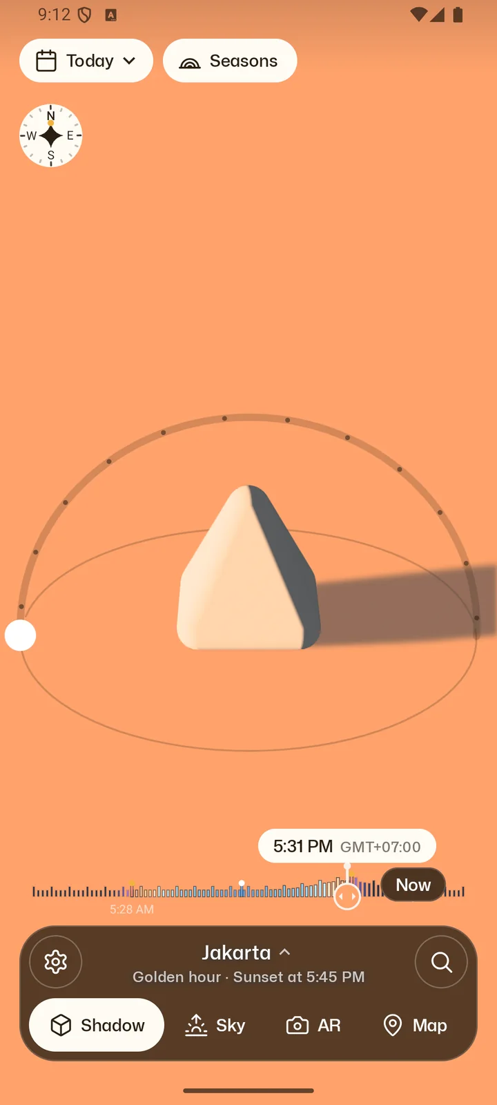
The Instrument looks down on an object and the shadow it casts: a pyramid, or a monolith, cube, cylinder or sphere. Scrub through the hours, or step from sunrise to golden hour to sunset.
Free
 Senja
Get it on Google Play
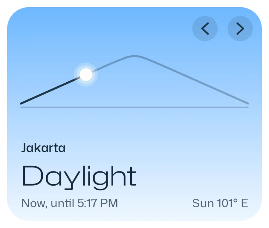
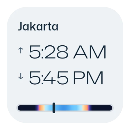
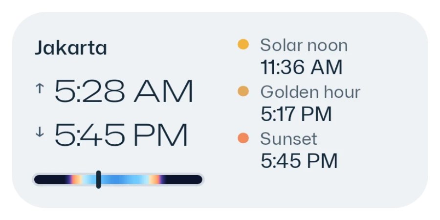
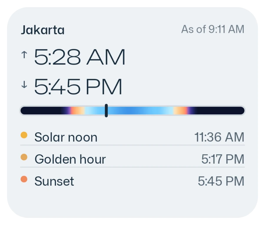
Senja shows where the sun will be, how the light will look and where the shadows fall. For any place, on Android.
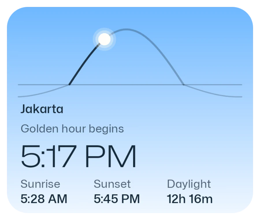
Golden hour
5:31 PM
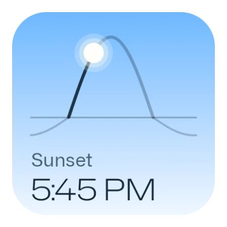
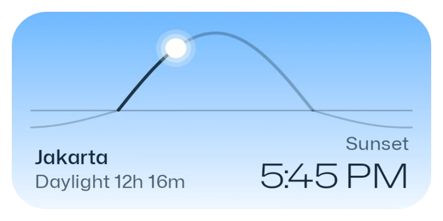
Today · Sunset at 5:45 PM
Real captures from the app. Most show Senja Golden, without ads.
The Instrument looks down on an object and the shadow it casts: a pyramid, or a monolith, cube, cylinder or sphere. Scrub through the hours, or step from sunrise to golden hour to sunset.
Free
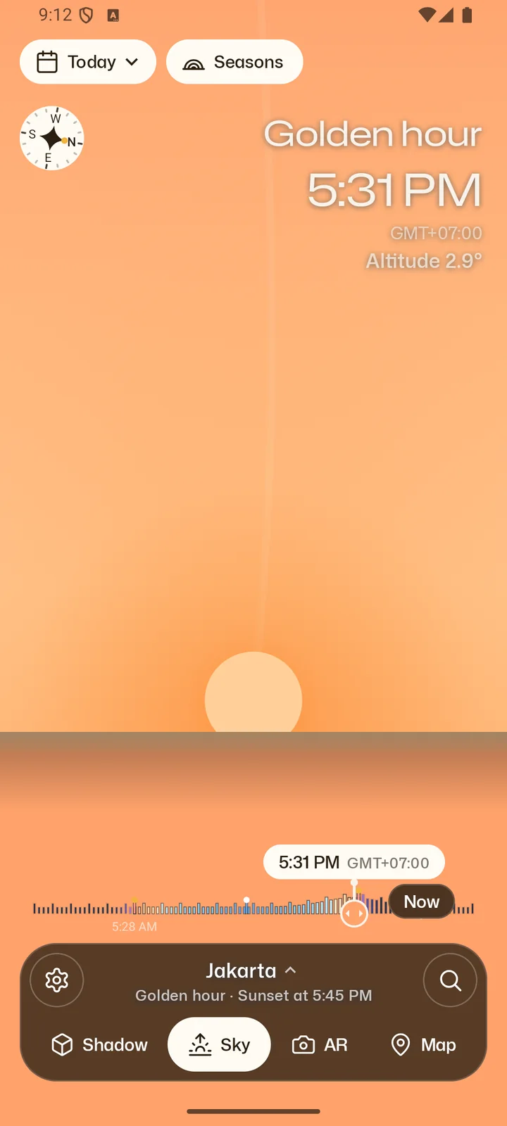
Sky raises the camera to face the sun, coloured by its real altitude through golden and blue hour. Switch to AR and today's path is drawn over your camera, with sunrise and sunset on the horizon. Trace the rooftops with a finger and Senja shows when direct sun really reaches you.
Free
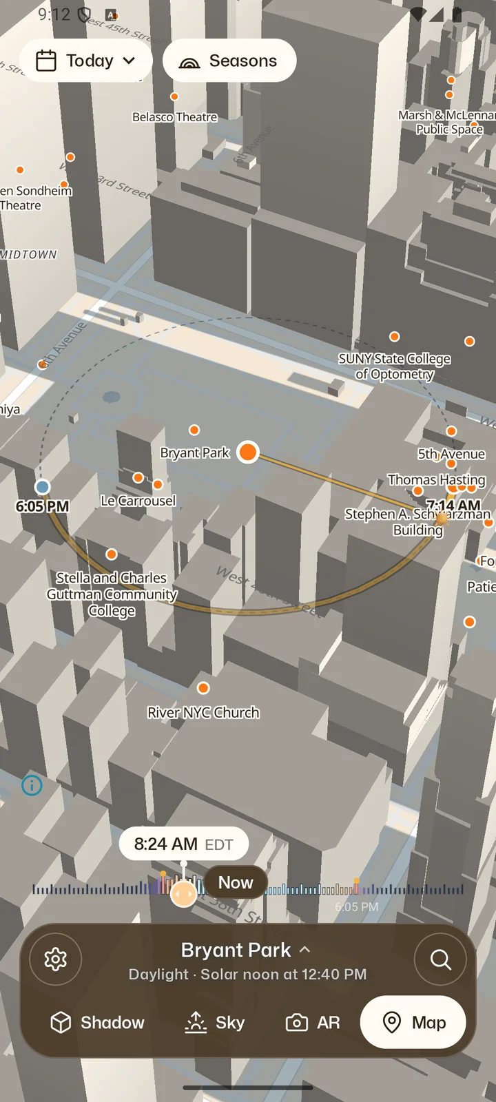
3D buildings from OpenStreetMap cast their shadows for the time you choose, with sunrise, sunset and the sun's direction drawn across the map. Press and hold anywhere to make it your place.
Needs a connection. Trees and terrain cast no shadow.
Free, with one ad
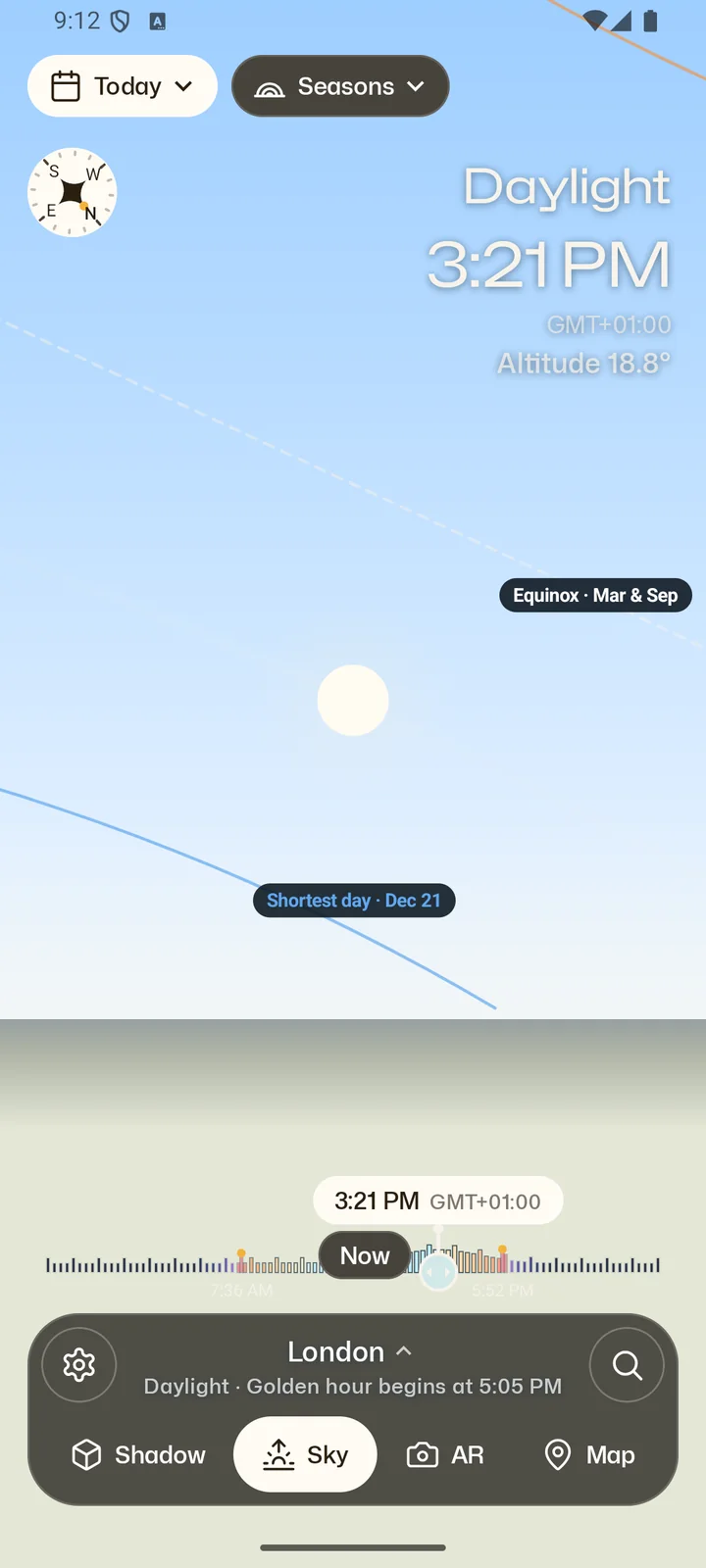
One tap draws the sun's path on the longest day, the equinoxes and the shortest day next to today's, in every view and on the map. Pick any date from 1970 to 2100.
Senja Golden
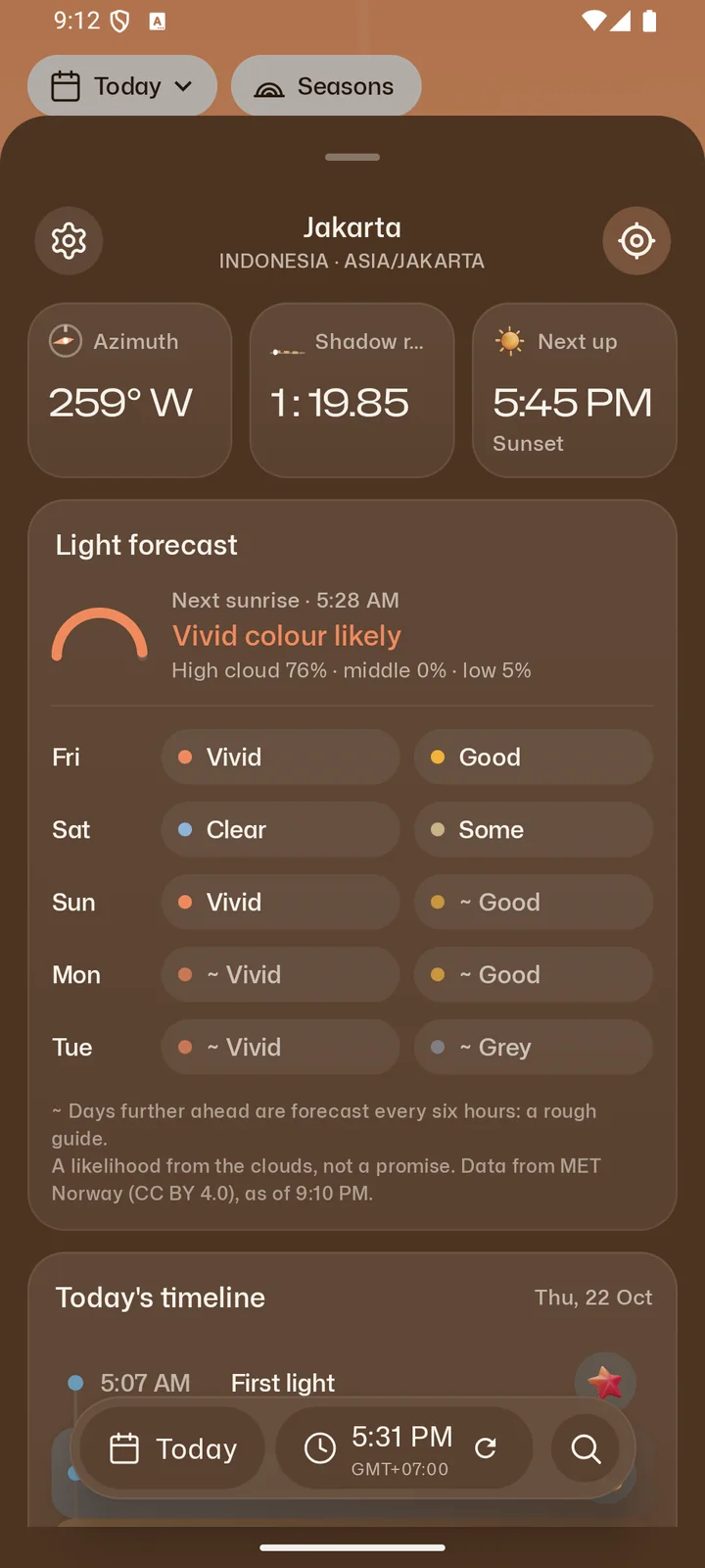
Senja reads the low, middle and high cloud around the next sunrise and sunset and rates it from vivid to grey. Broken high cloud over a clear horizon scores best.
A likelihood from MET Norway's forecast, not a promise.
Senja Golden
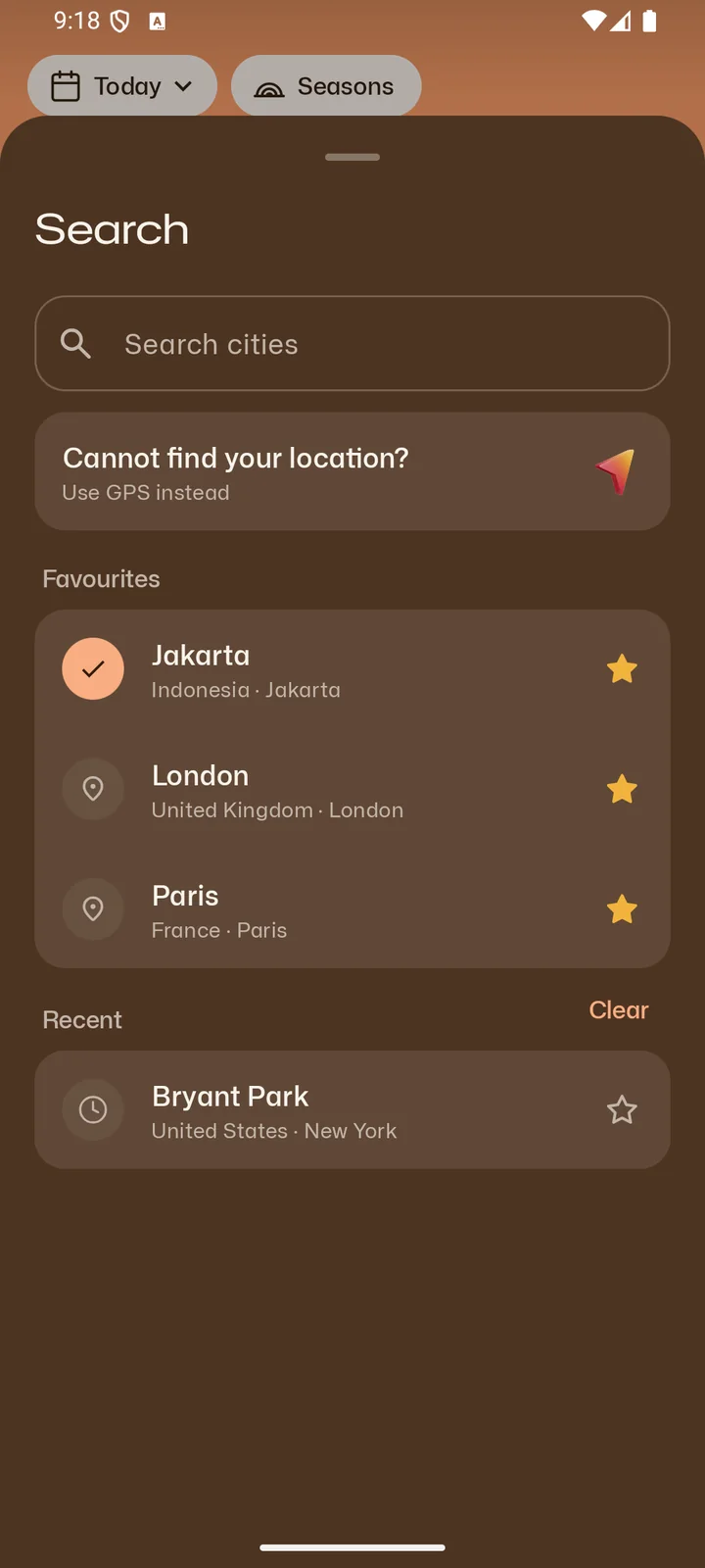
Cities, plus well-known landmarks, are searchable offline, accents and all. Paste coordinates, save favourites, or use where you are.
Free
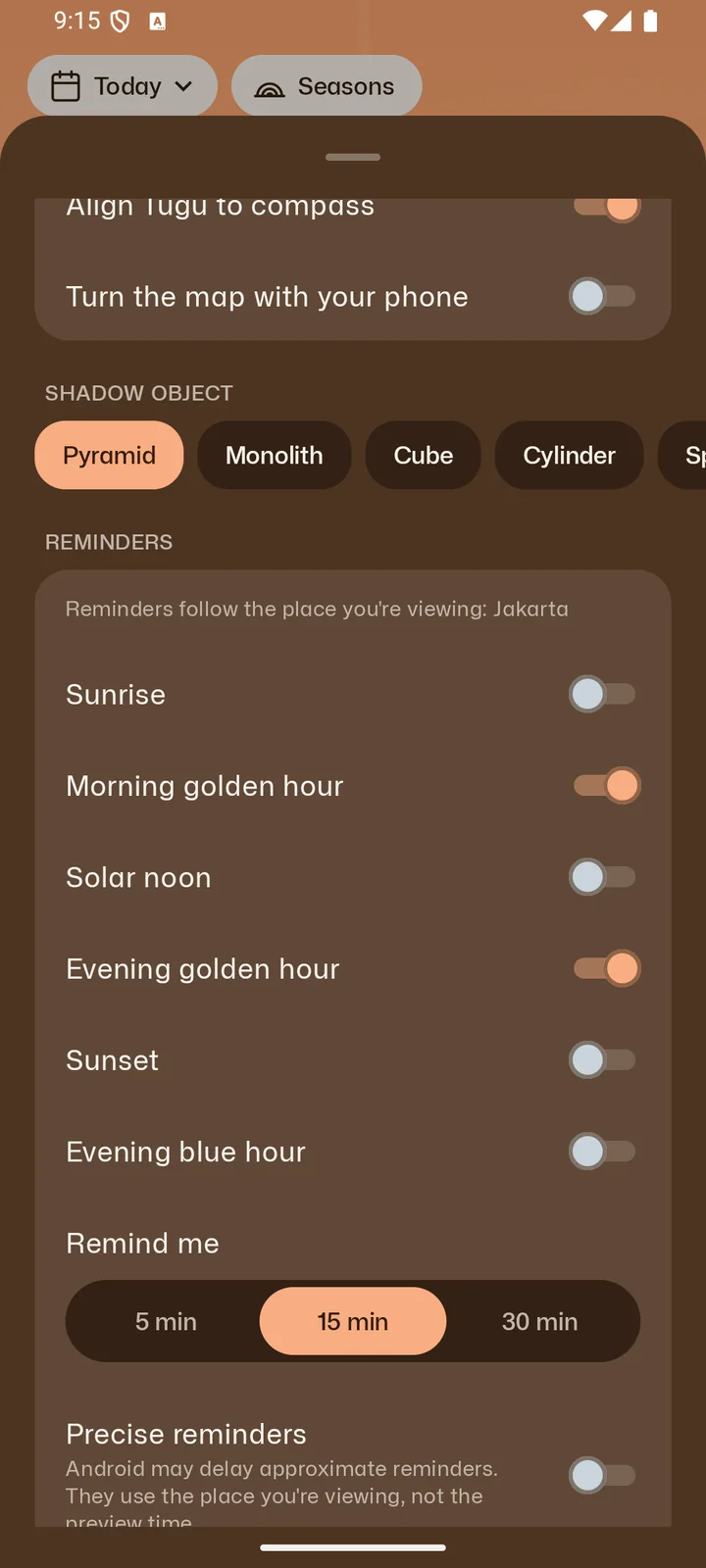
A nudge before morning or evening golden hour, sunrise, solar noon, sunset or blue hour, five to thirty minutes ahead. With Golden, sunrise and sunset reminders add how the sky is likely to look.
Free
Light planning only works if you know what the numbers leave out.
Every sun time, search across 34,173 cities and their landmarks, the 3D views and the AR path all work with no signal.
The Map and the light forecast need a connection.
OpenStreetMap buildings, in 3D, cast shadows computed on your phone for the minute you pick.
Trees and hills cast none, and a building with no mapped height stands in at 8 m.
Coloured by the sun's real altitude: golden hour from −4° to +6°, blue hour from −6° to −4°.
It shows the light, not the weather. Clouds are the forecast's job.
Scores the next sunrise and sunset from cloud at three heights, fog and rain, worldwide.
A likelihood, not a promise. Beyond about 60 hours it is a rough guide.
Trace your skyline in AR and the path fades where rooftops and trees hide the sun.
Listed times assume a clear, flat horizon. Hills and towers will move them.
Stand the shadow object life-size on your floor and watch its shadow cross it through the day.
Needs ARCore on the phone, and assumes the ground is flat.
Phones, tablets and foldables from Android 8.0, in portrait, landscape and large text.
Android only. There is no iPhone version.
Senja Golden is one payment, no subscription, bought inside the app. It removes the ad for good and opens every date from 1970 to 2100.